
All tracks lead to the tracking station
The “Greatest Hits of IB”
Race Directors: Tom Banks and Chloe Maric
Course Setter: Henry Delves
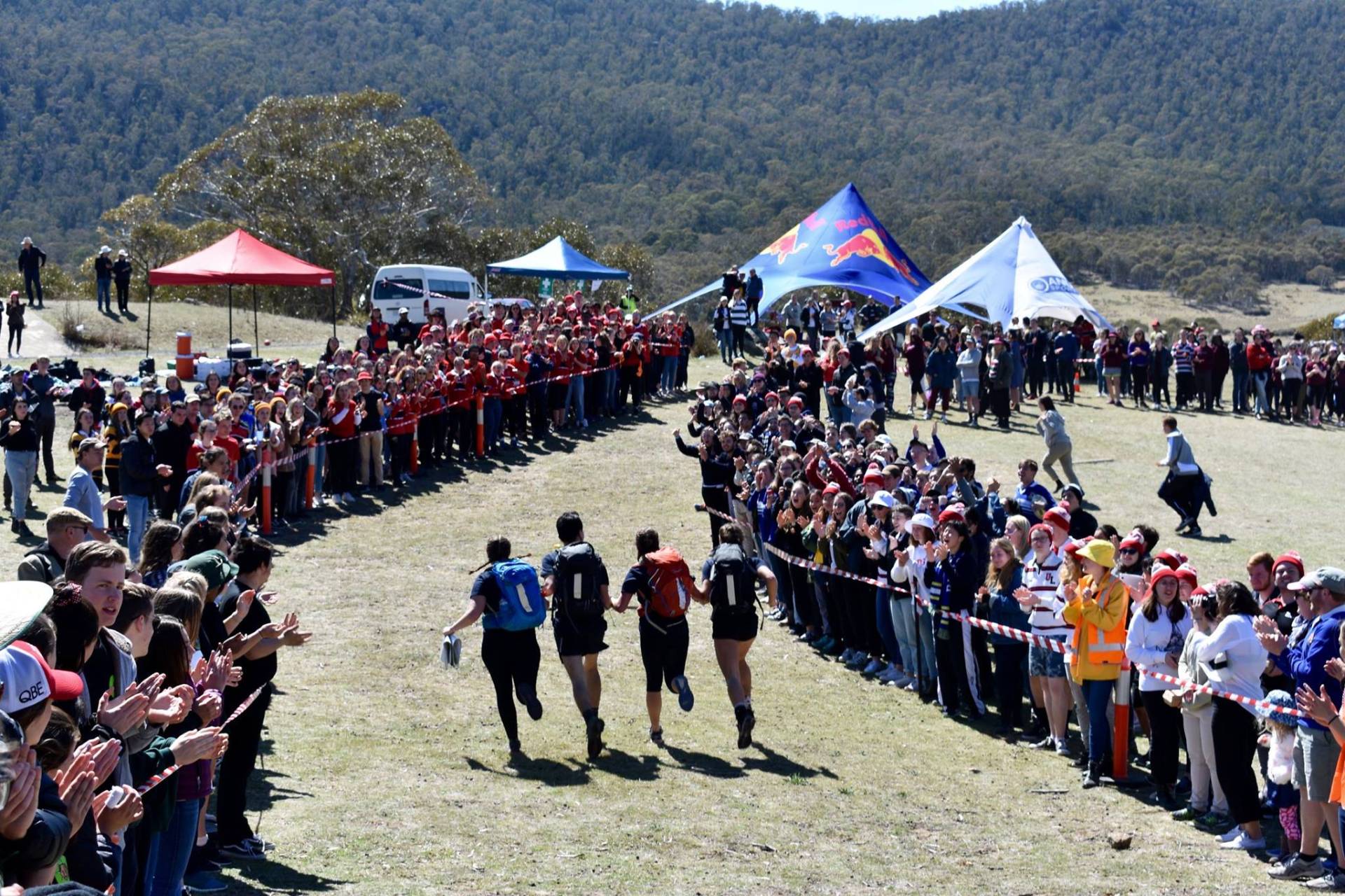
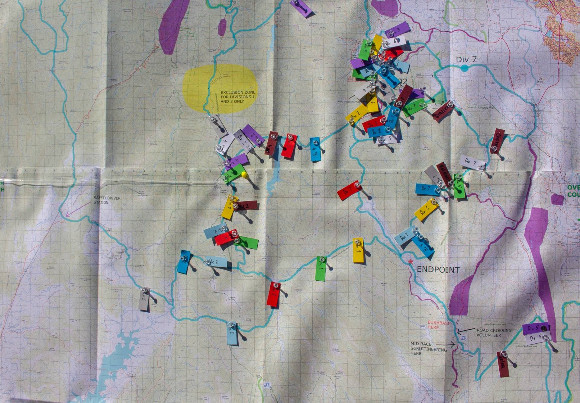
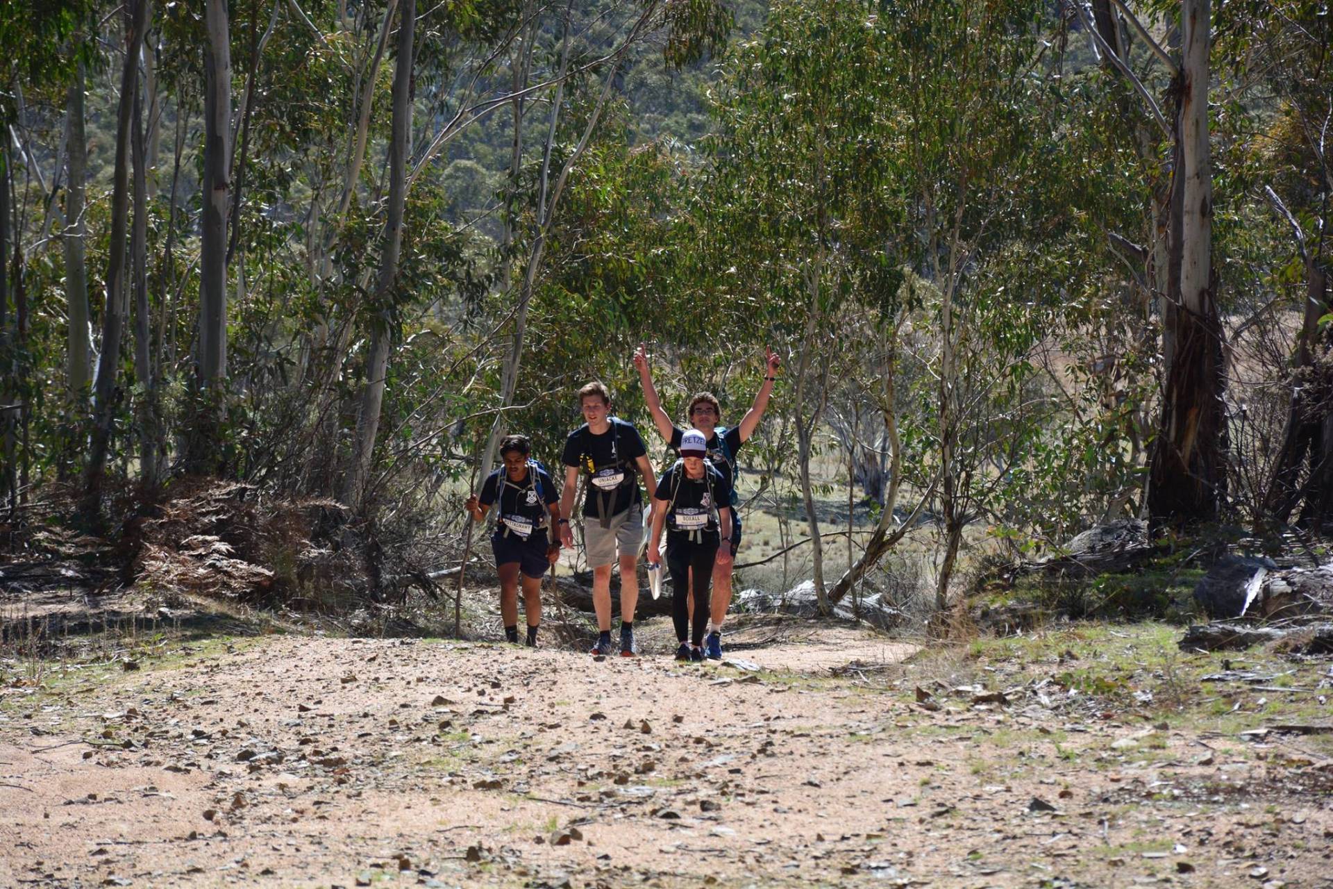
2018’s Inward Bound featured a race spanning across Canberra’s most iconic mountain ranges, as well as the navigational challenges of its less iconic forestry “roads”. This year saw the introduction of DIV X, granting the ability of those not affiliated with an ANU college or ADFA to participate for the first time opening the race up to the public. Teams came into the endpoint in Orroral Valley from across the map from the east from the Clear Range, north through Namadgi and Bimberi Nature Reserve, and as far west as Kosciuszko National Park


Relive the Race
Try to pick some drops or perhaps merely ask to yourself why did [Insert Team Here] do that?
Div 1
A mystery forest
Division 1 turned up the complete surprise of being dropped in the privately owned Wyora Pine Forest, which not only was likely to be a location no runners had encountered but also one unlikely to be accurately described on the map. If they managed to accurately pick the drop which most teams seemingly managed to do likely aided by the existence of transmission lines in the area, they were almost immediately faced with a route choice at the intersection of Brindabella and Wyora Road (see left). Teams could either head west into feral horse territory (aka Kosciuszko National Park) and initially avoid the lumps of the Brindbella’s and ‘saving’ the big vert for the end of the route, although taking a deceptively undulating course. Alternatively, teams could head east into the Brindabella’s by heading up Honeysuckle Ridge. Bruce, Griffin, and Fenner were undeterred by this initial climb whereas the remaining teams took the western route. Fenner attempted to take a ‘shortcut’ by attempting a sizeable bush bash around the exclusion zone which quickly found them disqualified/having to abandon. Meanwhile on the western route B&G got off to an early lead only to be overtaken by Burgmann and Ursies who seemingly remained close for the initial 70km before establishing a solid lead. Meanwhile on the eastern route despite getting off to a strong start Bruce was overtaken by Griffin at about the halfway point. However, at this point it was apparent the Burgmann would run to victory ahead of Ursies, with Griffin coming in 3rd.
Div 2
An unforeseen route?
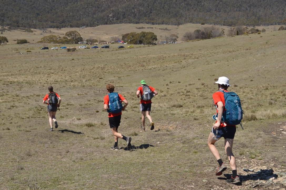
The race directors decided to try confuse scouts by placing teams at a three-way intersection where 2 of the roads looped back onto each other. Teams seem to have exhibited no great difficulty in picking the drop with all teams eventually leaving in the right direction. The overwhelming majority of teams tried to reverse the tables on the race directors choosing not to head south into Kosciuszko National Park, instead merging onto Brindabella Rd via a variety of back roads, walking trails or following a transmission Line then heading up Honeysuckle Trail onto Mt Franklin Rd then eventually down Stockyard Spur, Corin Rd, and Smokers Trail into the finish, or by heading up and around Mt Gingera. Despite this route being significantly longer and involving much much more vert than the foreseen option, as well as out on a potential encounter with a wild cow. Along the long route, it quickly devolved into a footrace between B&G and Burgmann for the win, however, B&G’s tracker mysteriously switched off as they passed Mt Franklin leading to immense intrigue as to who would emerge victorious with B&G just pipping Burgmann to the line. Leaving Johns who came in 3rd, Bruce (4th), and Griffin (DNF) taking the more efficient route across Dubbo Flat and continuing south through Kosciuszko National Park securing only a moral victory having run ~15 fewer kms and 500 fewer vertical meters, and encountering a few friendly campers at the Blue Waterholes campground (see right/below)
Div 3
No Kayaks for you
Despite rumours of a kayak leg for teams running Div 3 this year, they were instead dropped on the very much river-free area up on Two Sticks Road. The teams were dropped on a sweeping bend between 2 crossover points of transmission line over Two Sticks Road, a few kms north of Mt Coree. Upon finding this drop teams then had to snake down the Brindabella’s, across Vanity’s Crossing and into the maze that is Pierce’s Creek Pine Forest, up Devils Gap to Corin Rd, and then down Smoker’s Trail into Endpoint. No teams had any difficulty picking drop and heading down Curries Road with B&G bursting out to an early lead that they would not relinquish.
Div 4
A Collective Navigational Bluder?
Dropped among the bends of Old Mill “Road” (of which’s surface is one the sketchiest I’ve ever seen on something labeled a road) the course setters were hoping at least some teams went by a “quicker”, flatter route starting with a speedy downhill run Warks Road towards Vanity’s Crossing and towards div 6’s drop. Instead, all teams entered into what would be pretty much a straight-up footrace heading up the road and onto Mount Franklin Road. This left teams with a choice of whether to descend via the somewhat sketchy Stockyard Spur then Corin Rd or take a longer route Cotter Hut Road before merging onto the Smokers Trail into Endpoint. Bruce jumped out to an early lead with B&G closing on them however the teams diverged with Bruce going down Stockyard Spur resulting in them just pipping B&G to the finish.
Div 5
Trying to find the Tres’pass’
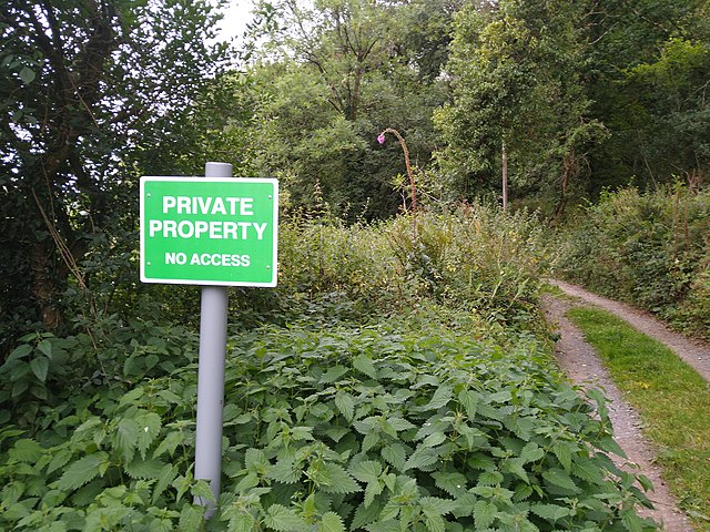
Due to their drop being nestled just north of the Clear Range amongst the rural properties along Smiths Road, surrounded by cow’s teams were required to somewhat unintuitively head south around and across the Clear Range rather than through a northern route much shorter but across private property. This shorter northern route proved too tempting for all teams barring Unilodge who would DNF and a Div X who would go on to win by default. In going on their trespassing travels teams missed out on having to navigate across the Clear Range. Teams first would have found themselves having to decide whether to take a long bush bash east onto Naas Valley Firetrail or by a longer route staying on the Formed Trails. As they approached the intersection of Naas Valley Firetrail and Boboyan Road teams would have been treated to a forced bush bash along the Orroral River to avoid the out-of-bounds Boboyan Roadd to head into Endpoint. This experience serves as a reminded that private property unless expressly whitelisted should not be crossed by teams as not only will they get DQed it ensures they stay safe.
Div 6
Piercing Through the Pine?
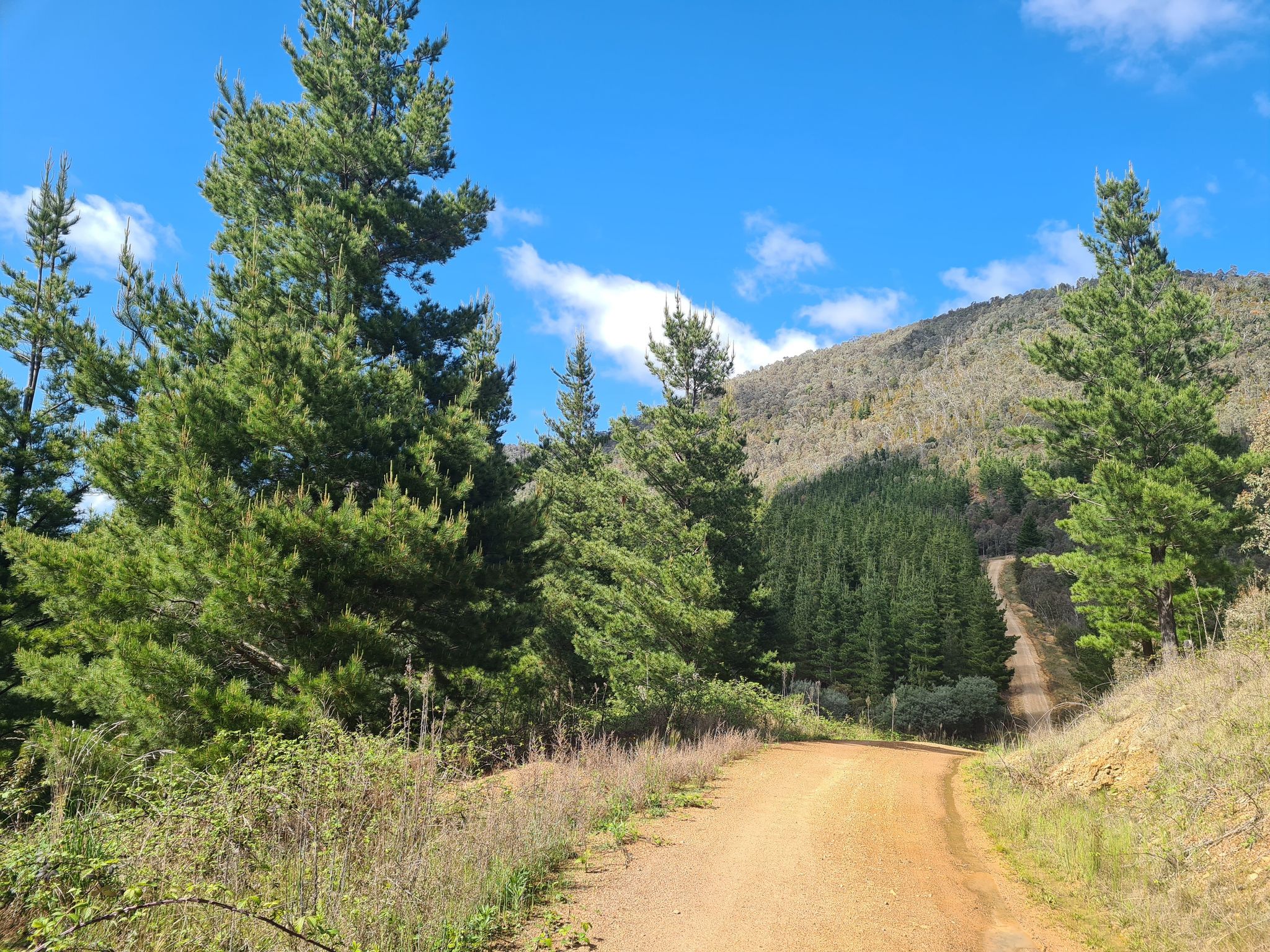
Dropped on the edge of pierces creek pine forest in a creek gully teams were seemingly able to locate themselves for the most part quite quickly. However, their main navigational challenge would soon present itself in the form of maze of roads not necessarily accurately mapped in Pierces Creek Pine Forest (see left/below). Hence whilst many teams managed to head in the right general direction from drop none seemed to successfully navigate along the correct route along Oakey Creek and Gilmores Road out of the pine forest. Instead, the team that emerged ahead of everyone was quickly Burgmann who decided to avoid Pierces Creek altogether and take the much hillier but less navigationally challenging route of heading along the Tidbinbilla Range Firetrail. They would not relinquish this lead heading up Devil’s Gap onto Corin Rd and down Smoker’s Trail into the finish. Out of the teams that tackled the pine forest Griffin would emerge first only to take the scenic longer route onto Blue Gum Creek Firetrail and over Honeysuckle Creek campground relinquishing their 2nd place to Ursula Hall eventually finishing 7th.
Div 7
Taking Off
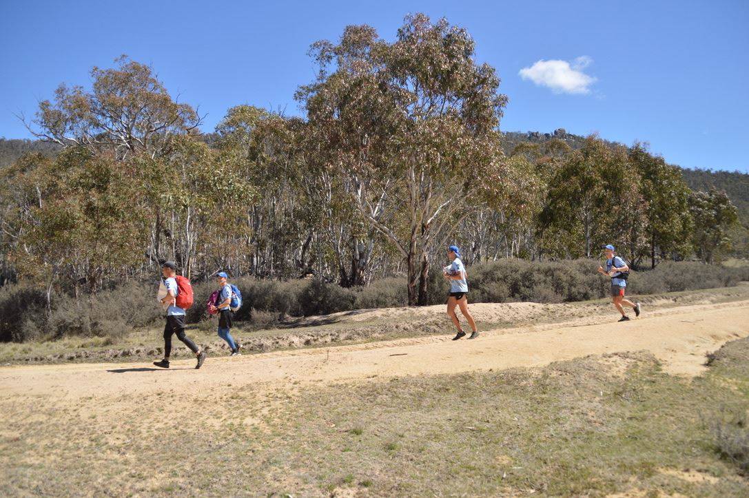
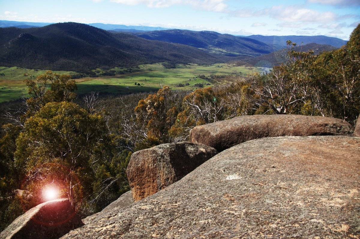
In the first teams were dropped not on a road but onto a private airstrip unmarked on the map leaving them to work out they were on trails of private property “Booroomba” but the terrain and surrounding roads alone. Most teams managed to take the south-easterly route along Booroomba Rd out towards the intersection with Blue Gum Creek Fire Trail. After reaching this teams could opt to continue heading south along the fire trail onto the Australian Alps walking track past Booroomba Rocks (see left/below) up Honeysuckle Creek Camping Area and then continuing down along the Alps track into Endpoint. Alternatively, they could take the similarly distanced westerly route up one of the trails along “White Horse Flat” and followed by a quick bush-bash to reach the familiar Smokers Trail route to the finish taken by so many other Divs. With the lead pack of Burgmann, John’s, Bruce and B&G, only B&G took the westerly option. However, it would quickly become apparent that Burgmann’s pace was unyielding going on to comfortably win the division, with John’s coming in second. The split route choice did offer some added entertainment resulting in B&G just pipping Bruce into Endpoint for 3rd.